Ciência
NASA’s CASALS Instrument Bridges Gaps in 3D Maps of Earth’s Surface
 Reprodução
NASA Science Editorial Team
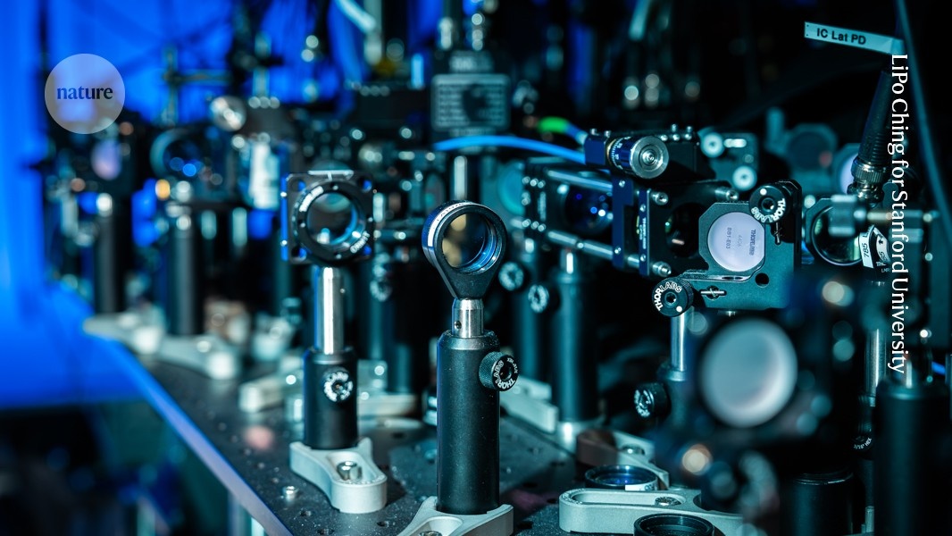
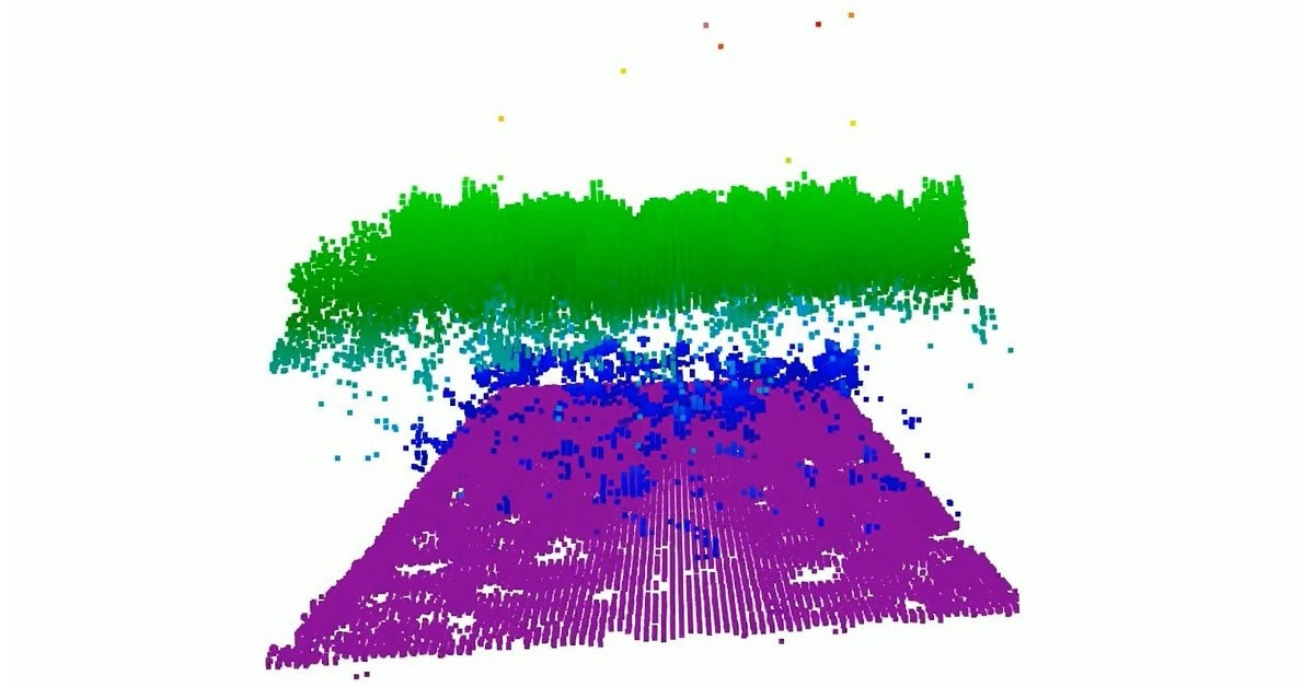
From orbit, today's space-based laser instruments measure Earth's forests and terrain one narrow line at a time. Between those lines are enormous gaps that include millions of acres of land scientists never directly measure. NASA’s CASALS instrument will blend machine learning with an ultra-compact lidar instrument to adaptively ‘sweep’ large swaths of Earth’s surface.
Por que isso importa?
NASA’s CASALS instrument will blend machine learning with an ultra-compact lidar instrument to adaptively ‘sweep’ large swaths of Earth’s surface.
Contexto Rápido
- Between those lines are enormous gaps that include millions of acres of land scientists never directly measure.
- NASA’s CASALS instrument will blend machine learning with an ultra-compact lidar instrument to adaptively ‘sweep’ large swaths of Earth’s surface.
- This new capability for space-based remote sensors allows CASALS to create truly three-dimensional (3D) topographical renderings.
Dados de contexto baseados em estatísticas públicas
e levantamentos históricos.
Fonte:
NASA
Comentários (0)
Entre para comentar nesta notícia.
Entrar com Google
Seja o primeiro a comentar.
Os comentários são de responsabilidade exclusiva de seus autores.